PATHEARN and Esri Bulgaria Join Forces to Transform Road Infrastructure Management
We are pleased to announce the successful collaboration between PATHEARN, a leader in geospatial data collection and analysis, and Esri Bulgaria, the country’s leading provider of GIS (Geographic Information Systems) solutions. This partnership marks a major milestone in advancing digital transformation in road infrastructure management across Bulgaria and beyond.
At the heart of this collaboration is the digitalization of road signage infrastructure—a key component in a broader, long-term initiative focused on improving public road safety, infrastructure maintenance, and smart city development.
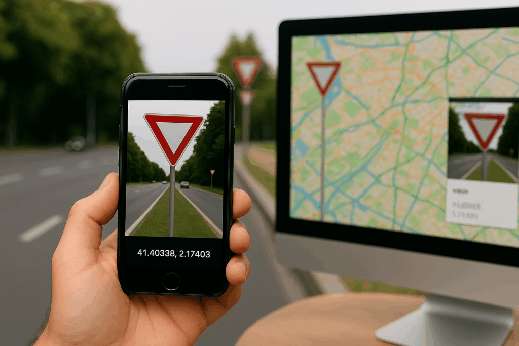
Leveraging PATHEARN’s advanced mobile application, powered by AI for capturing road assets and high-resolution location data, together with Esri’s cutting-edge GIS software, the two companies are building a comprehensive digital twin of road infrastructure. This combined solution enables real-time insights and analytics that empower municipalities and city planners to make data-driven decisions for the benefit of their communities.

Key Benefits of the Partnership:
- Efficient Road Infrastructure Maintenance: Automating the inventory and monitoring of traffic signs and other critical road assets.
- Enhanced Road Safety: Supporting faster identification of missing or damaged signage and improving hazard detection.
- Improved Traffic Control: Delivering accurate, up-to-date data for smart traffic management systems.
- Smarter Urban Planning: Assisting cities with actionable insights for infrastructure development and policy-making.
- Optimized Municipal Operations: Enabling better planning, budgeting, and compliance through geospatial intelligence.
This partnership delivers a scalable, ready-to-implement solution that supports the digitalization strategies of cities and municipalities, aligning with national and EU goals for smarter, safer, and more sustainable urban environments.
“Data is extremely important for geographic information systems, as it forms the foundation for spatial analyses and visualizations. It includes information about geographic locations, specific attributes, and variables that help understand spatial relationships and patterns.
The partnership between Esri Bulgaria and Pathearn enables Esri GIS solutions to be powered by high-resolution quality data and rich attribute information for elements of road infrastructure. This facilitates the work of road agencies, local administrations, road designers, non-governmental organizations, and all those involved in road safety, allowing them to conduct better analyses and make quicker, correct, and informed decisions”, said Georgi Vladov, Strategic Clients and Projects Manager at Esri Bulgaria.
For more information or to explore partnership opportunities, please contact:
📧 sales@pathearn.
